The Philippines’ quest to better understand and manage its marine resources just took a high-tech leap forward. The Mines and Geosciences Bureau (MGB), through its Marine Geological Survey Division (MGSD), has officially acquired a state-of-the-art Sub-Bottom Profiler — known as the Delta Seismic Sparker System — marking a milestone in the country’s marine exploration capabilities.
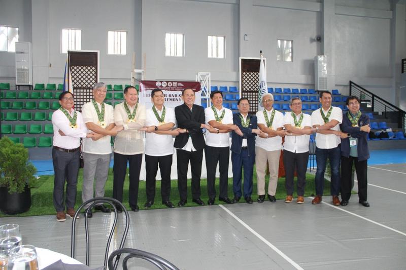
The acquisition was formalised during a Turnover and Signing Ceremony held on 6 October 2025 with the Philippine Reclamation Authority (PRA) and the Pasay Harbor City Corporation (PHCC). The event not only celebrated the delivery of the advanced equipment but also the signing of an Implementing Agreement that cements a joint MGB–PRA geoscientific cooperation.
This collaboration aims to utilise the new Sparker System to map and outline potential marine sand quarry borrow sites — essential for major coastal infrastructure and reclamation projects. But more importantly, it ensures that exploration and extraction are guided by science, safety, and environmental responsibility.
A Partnership Anchored in Science and Sustainability
The ceremony was attended by key government and industry figures who underscored the significance of the partnership. Among them were Assistant Secretary for Mining Concerns and concurrent MGB OIC Director, Engr. Michael V. Cabalda; Engr. Cesar S. Siador, CEO and General Manager of PRA; and Engr. Maximo Carvajal, Senior Vice President for Operations and Project Management of PHCC.
Opening messages from Engr. Carvajal and Atty. Severo Madrona Jr., Legal Officer of the City Government of Pasay, highlighted how collaboration between science and development agencies is crucial to sustainable growth. Engr. Siador followed by affirming PRA’s commitment to ensuring that reclamation and marine sourcing are done responsibly and transparently.
Asec. Cabalda echoed the sentiment, noting that the MGB’s strengthened capability for marine resource mapping supports the government’s broader goals for sustainable coastal development.
A Glimpse Beneath the Surface
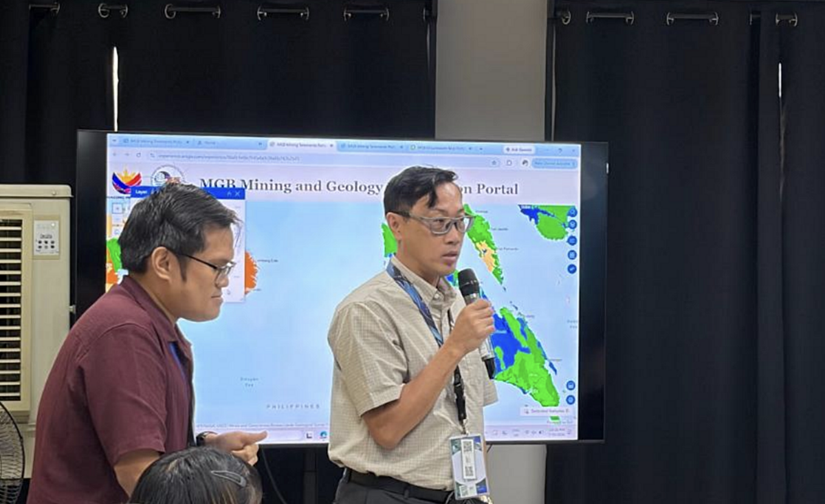
The highlight of the ceremony was a live demonstration of the Sparker System’s capabilities, led by Mr. Michael Calvert of Sea and Land Technologies (SALT). The audience watched as the device simulated how it emits seismic energy pulses to penetrate beneath the seabed, allowing scientists to “see” and analyse the geological layers below.
“The Sparker System acts like an underwater sonar — but with far more precision,” explained Calvert. “It can identify potential sand sources or subsurface anomalies that are invisible to the naked eye.”
Following the formal turnover, the MGSD team conducted a series of setup, training, and sea trials onboard the RPS Explorer from 8–11 October 2025. The trials ensured that the Bureau’s scientists and engineers are fully trained in operating the new system and interpreting its data for practical applications.
Charting the Future of Marine Resource Management
Dr. Rogel A. Santos, MGSD Chief, said the acquisition marks a crucial investment in data-driven resource governance. “This technology allows us to balance development with conservation. With accurate geological data, we can make informed decisions about where and how to source marine materials safely,” he said.
The joint MGB–PRA effort symbolises a growing national emphasis on evidence-based resource management. With the Philippines’ continued expansion of coastal infrastructure, such as reclamation projects, ports, and flood mitigation works, accurate seabed mapping becomes not just a technical necessity — but an environmental imperative.
“The more we understand what lies beneath our seas, the better we can protect them,” Dr. Santos added.
As the sun set over Manila Bay during the ceremony, the new Sub-Bottom Profiler stood ready for deployment — a powerful reminder that innovation and sustainability can coexist beneath the waves.