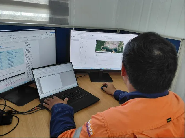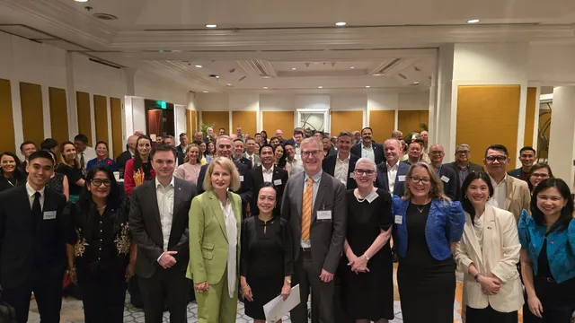
As mining operations become increasingly data-driven, reliable geospatial information is essential to sound decision-making, regulatory compliance, and responsible resource management. Recognizing this, company representatives participated in the QGIS Technical Seminar-Workshop for Geospatial Reporting and Compliance organized by the Mines and Geosciences Bureau Regional Office No. XIII (MGB Caraga) on July 1–2, 2026, at the Philippine Gateway Hotel in Surigao City.
The technical workshop focused on strengthening participants’ competencies in geospatial data management, mapping, and digital reporting, with particular emphasis on the reporting requirements for Safety and Health, Environmental Management, and Social Development.
For the mining industry, geospatial technology has become an increasingly important tool for translating field information into accurate and actionable data. Geographic Information Systems (GIS) applications such as QGIS enable mining professionals to visualize spatial information, manage multiple datasets, monitor areas of interest, and support more informed operational and environmental decisions.
The training provided participants with practical knowledge that can help improve the accuracy, consistency, and reliability of geospatial data used in regulatory submissions and internal monitoring. Strengthening these capabilities also supports greater transparency and efficiency in documenting compliance with government requirements.
More importantly, investing in technical capacity demonstrates the mining industry’s recognition that responsible mining requires not only operational excellence but also robust systems for environmental management, safety and health, and social development.
For our company, the seminar-workshop is part of our continuing effort to strengthen professional competencies and adopt appropriate digital tools that support responsible and compliant mining operations. By enhancing our ability to collect, analyze, visualize, and report geospatial information, we are better positioned to support evidence-based decision-making and fulfill our regulatory obligations and environmental commitments.
As the Philippine mining industry continues to embrace digital transformation, developing geospatial expertise will remain vital to promoting greater accountability, informed resource management, and more effective environmental stewardship.
Through knowledge, technology, and continuous improvement, we strengthen not only our operations but also our commitment to responsible mining and sustainable development in Caraga.