The Mines and Geosciences Bureau (MGB) has strengthened the technical capabilities of its geologists through a comprehensive training program on two-dimensional (2D) georesistivity survey techniques, enhancing the agency's capacity for subsurface characterization and mineral exploration.
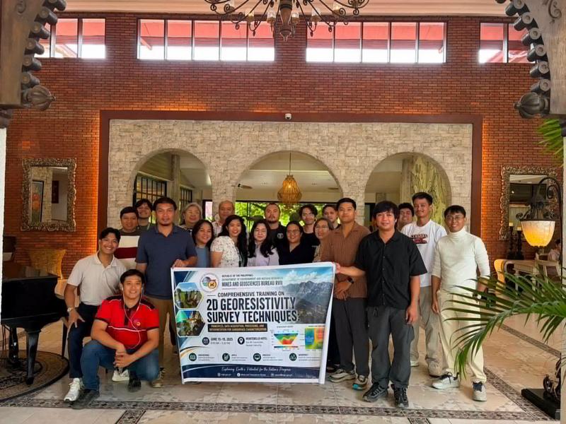
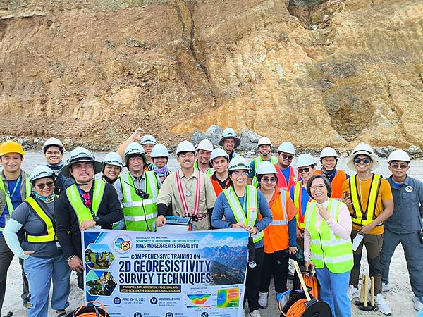
Held from June 15 to 19 in Cebu City, the Comprehensive Training on 2D Georesistivity Survey Techniques: Principles, Data Acquisition, Processing, and Interpretation for Subsurface Characterization brought together geologists from MGB Regional Offices VI, VII, VIII, and the Negros Island Region (NIR).
The training forms part of the Bureau's capacity-building initiatives under the National Mineral Reservation Program (NMRP), which aims to strengthen geophysical investigation capabilities in support of mineral resource assessment and geoscientific research.
Organized by MGB Regional Office VII under the leadership of NMRP Focal Person and Senior Geologist John Christopher Santos, the program focused on enhancing technical competencies in subsurface characterization through the application of electrical georesistivity survey techniques.
The initiative also sought to strengthen collaboration among MGB regional offices in the Visayas by promoting knowledge sharing and providing participants with practical field experience.
Training sessions were facilitated by Dr. Mel Anthony A. Casulla of MGB Regional Office XII, who discussed the principles and applications of electrical resistivity surveys, including survey design, data acquisition procedures, quality assurance, and interpretation of geophysical data.
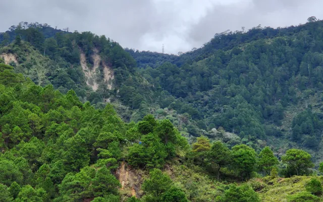
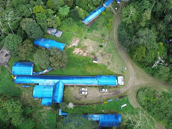
A key component of the program was a field exercise conducted on June 17 at the Carmen Copper Corp. mine site, where participants carried out an actual 2D georesistivity survey under field conditions.
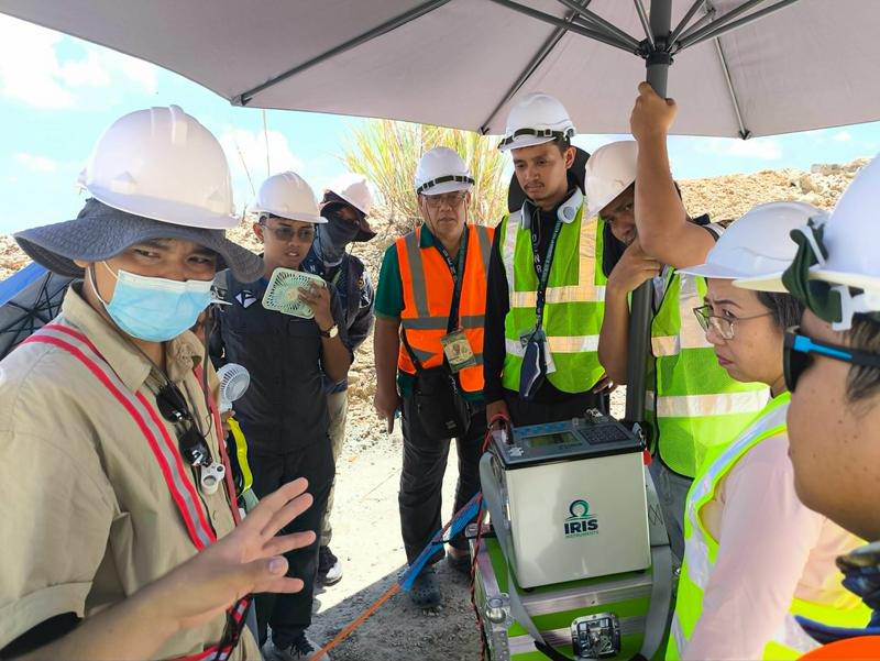
The practical exercise included survey line establishment, electrode deployment, equipment setup, and field data acquisition, allowing participants to gain firsthand experience in conducting geophysical investigations.
Following the fieldwork, participants processed the collected datasets using specialized geophysical software to generate two-dimensional subsurface resistivity models and interpret underground geological features.
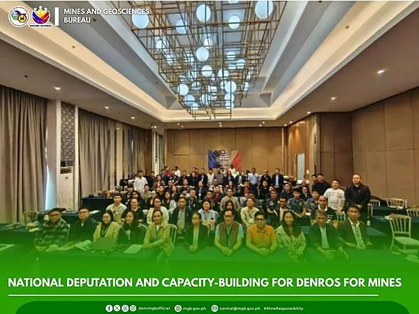
The five-day program concluded with a synthesis session in which participants presented their survey methodologies, processed resistivity sections, geological interpretations, and technical recommendations.
According to the MGB, the training significantly enhanced participants' competencies in georesistivity surveying and strengthened the Bureau's ability to undertake subsurface characterization and mineral exploration activities in support of the National Mineral Reservation Program and other geoscientific initiatives.
The bureau said continued investments in technical training and modern geophysical methods will help improve the quality of geological investigations, support evidence-based mineral resource management, and reinforce the country's capacity to identify and evaluate mineral potential through advanced exploration techniques.