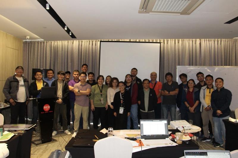
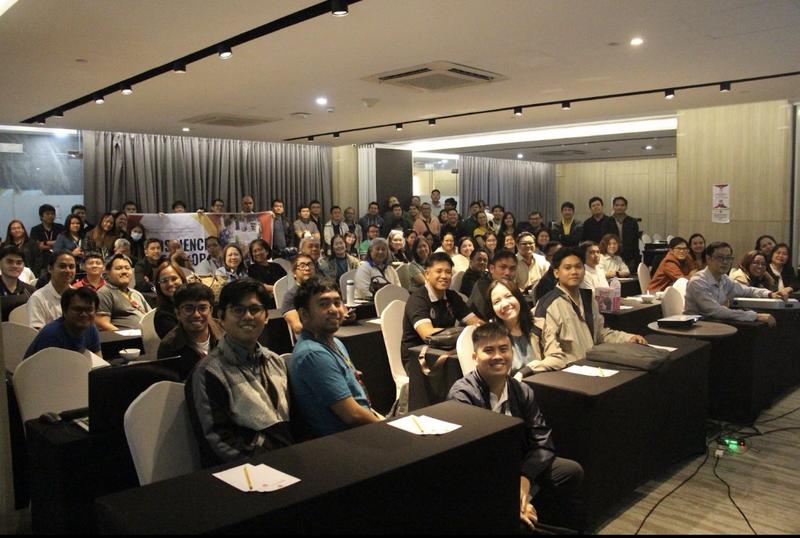
THE Mines and Geosciences Bureau (MGB) convened geologists from across the country for its Annual Geoscience Workshop held from February 16 to 20, 2026 at the RED Hotel in Quezon City.
Organized by the bureau’s Lands Geological Survey Division (LGSD) and Marine Geological Survey Division (MGSD), the workshop served as a platform for technical discussions, knowledge exchange and alignment of strategies supporting the agency’s national geoscience programs.
Carrying the theme “Reliable Geoscience for Public Safety, Resource Management, and Sustainable Development,” the five-day gathering brought together MGB geologists to review progress, refine methodologies and strengthen the implementation of the bureau’s mapping and research initiatives.
The Mines and Geosciences Services (MGS) of the Ministry of Environment, Natural Resources and Energy of the Bangsamoro Autonomous Region in Muslim Mindanao (BARMM) also participated in the workshop to strengthen institutional partnerships and promote the sharing of technical expertise and resources.
Sessions were organized in parallel tracks covering the bureau’s major national programs, including the National Geological Quadrangle Mapping Program, the National Mineral Reservation Program, the National Geohazard Mapping Program, and the National Groundwater Resource and Vulnerability Mapping Program.
Participants held technical discussions on program accomplishments, operational challenges and opportunities to harmonize methodologies across regions.
A dedicated session on geological laboratory concerns was also conducted to ensure the integration of laboratory standards, protocols and data across the bureau’s various mapping and research programs.
Through collaborative discussions and workshops, the MGB highlighted continuing efforts to expand and improve its geologic, geohazard, groundwater and mineral resource mapping initiatives. The bureau also discussed data modernization efforts and the development of new hazard modeling approaches aimed at strengthening the accuracy and usability of geoscience information.
Officials said these initiatives support national development planning, land-use management and disaster risk reduction by providing reliable scientific data to policymakers and local governments.
The annual workshop also reaffirmed the bureau’s commitment to strengthening science-based governance in the management of the country’s natural resources and environmental protection efforts.