QES Technology Philippines, long recognized as a trusted partner in assay laboratories for ED-XRF and sample preparation solutions, is now expanding its expertise into advanced geospatial technologies. Through its strategic partnership with CHCNAV, QES now provides integrated geospatial technologies that support mining and other industries in achieving productivity targets, safety goals and operational efficiency.
Beyond supplying advanced equipment, QES ensures clients gain measurable improvements in data accuracy, turnaround time and decision-making confidence.
CHCNAV X500 Drone with Alpha Air 9 LiDAR
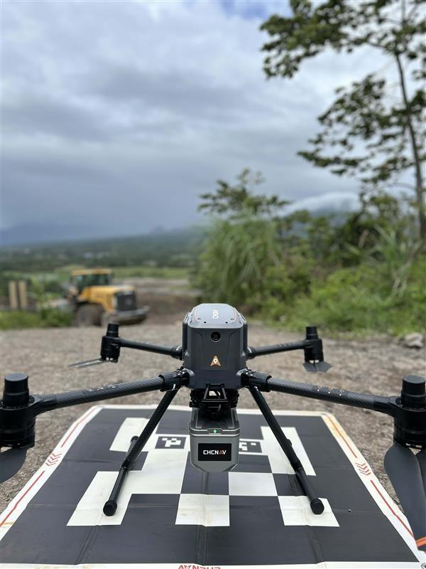
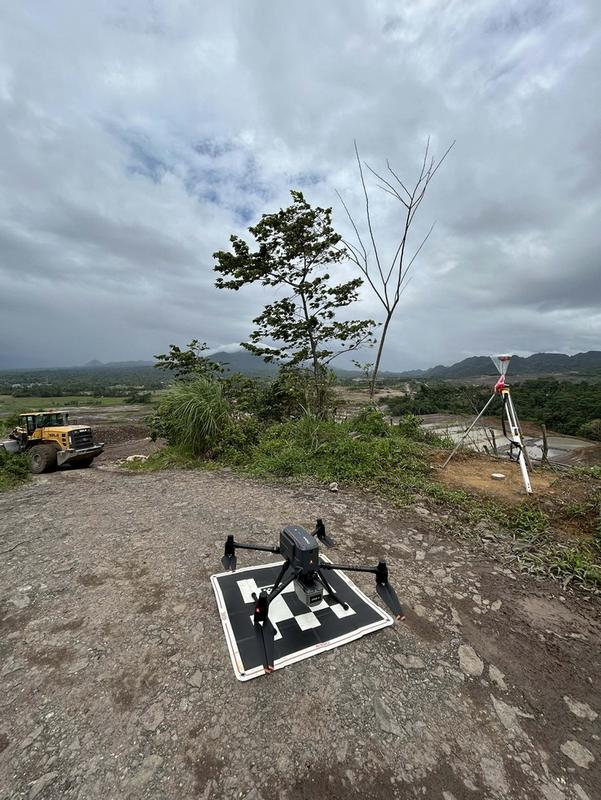
CHCNAV X500, combined with the Alpha Air 9, enables rapid and high-accuracy aerial mapping for large mining sites. The system captures dense 3D point cloud data, even in vegetated or rugged terrain, allowing accurate terrain modelling and stockpile volume computation.
For mining companies, this means faster survey completion, improved production monitoring and safer operations by reducing ground exposure. Reliable aerial data supports better extraction planning, haul road design and reporting accuracy.
A mining client said, “Using the X500 with LiDAR reduced our survey time by more than half while giving us more detailed and reliable data for our monthly volume reports.”
CHCNAV RS10 Laser Scanner
CHCNAV RS10 enhances efficiency by delivering seamless indoor and outdoor 3D scanning through integrated SLAM and GNSS RTK technology. It produces real-time, georeferenced point cloud data without complex setup procedures.
In mining, the RS10 accelerates stockpile validation, tunnel mapping and plant documentation. It reduces rework, improves reporting accuracy and supports faster operational decisions. In construction and infrastructure sectors, it simplifies as-built documentation and site inspections.
A client from the construction sector said, “The RS10 made our facility documentation much faster. We were able to capture detailed 3D data in a single walkthrough.”
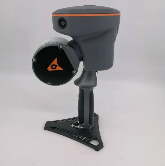
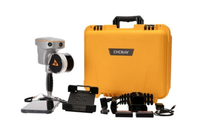
CHCNAV i85 RTK GNSS
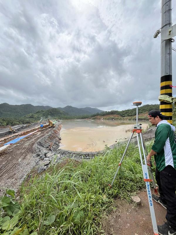
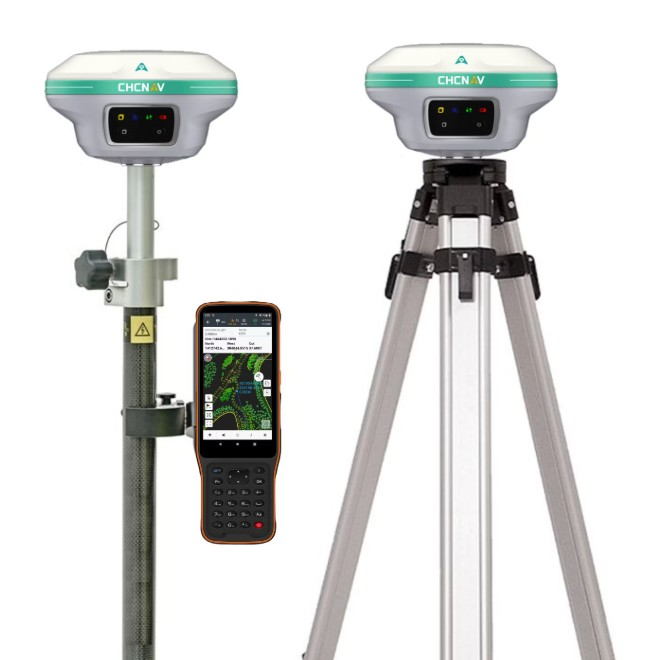
CHCNAV i85 delivers centimetre-level accuracy with integrated IMU and laser measurement capability. It allows safe measurement of inaccessible or hazardous points while maintaining reliable positioning performance.
For mining operations, precise ground control improves volumetric accuracy and ensures proper implementation of mine plans. It also enhances safety by reducing the need to physically access dangerous areas. In engineering projects, it minimises layout errors and boosts productivity.
A mining surveyor said, “The i85’s laser feature allows us to measure difficult points safely without compromising accuracy. It has improved both our efficiency and safety in the field.”
CHCNAV Apache 3 Pro USV
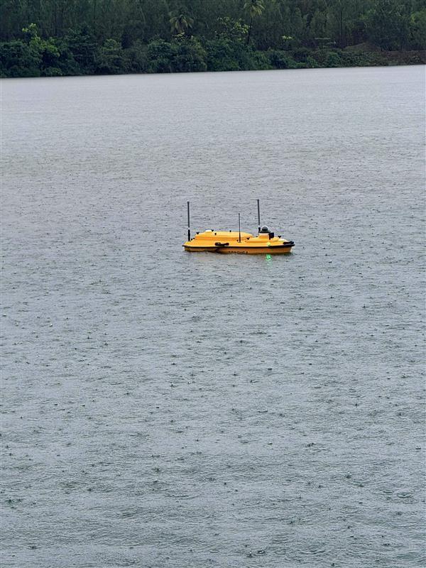
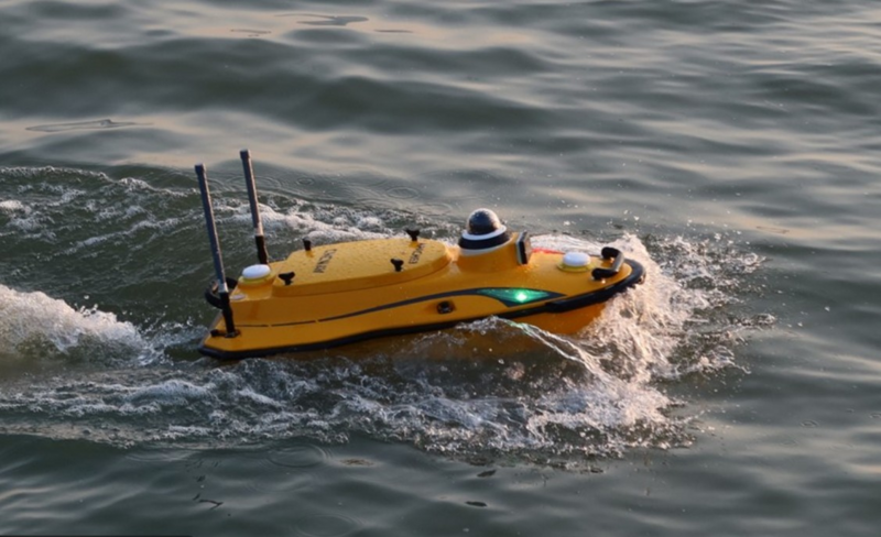
CHCNAV Apache 3 Pro supports environmental and operational targets through autonomous bathymetric surveying. Equipped with GNSS RTK and an echosounder, it provides accurate underwater terrain and depth data in tailings ponds and reservoirs.
For mining companies, this ensures reliable water volume monitoring, sediment tracking and compliance reporting while minimising personnel exposure to water hazards. It also benefits water resource and infrastructure projects requiring accurate hydrographic data.
An environmental manager said, “The Apache 3 Pro allowed us to safely monitor our tailings pond with consistent and precise results, greatly improving our compliance reporting.”
CHCNAV PS200 Ground-Based Radar
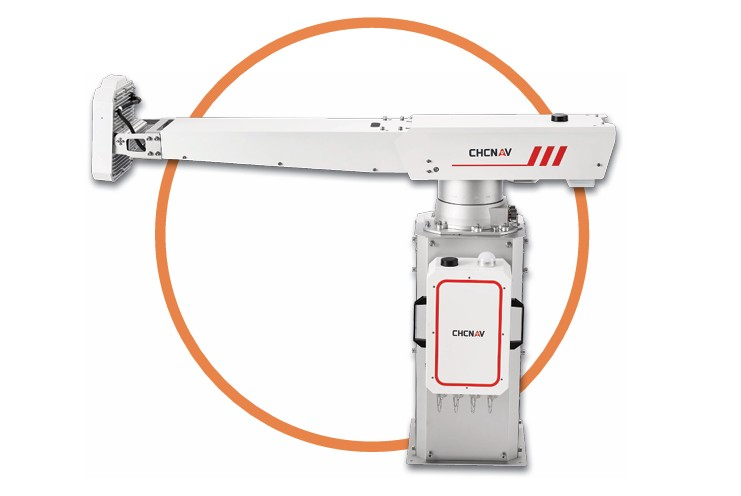
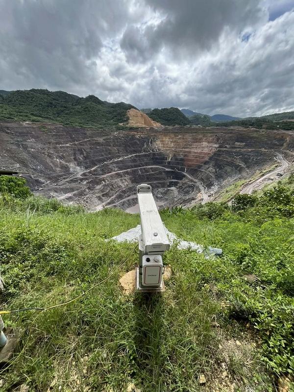
CHCNAV PS200 is a high-performance slope and structural monitoring radar designed to provide continuous, real-time deformation analysis. It detects minute ground movements in mine slopes and highwalls, offering early warning alerts to prevent potential failures.
In mining operations, slope stability directly affects safety, productivity and risk management. The PS200 enhances operational security by providing reliable monitoring data that supports preventive action and reduces downtime.
A mining operations supervisor said, “The PS200 gives us confidence in our slope monitoring. The early warning capability has strengthened our safety program and protected our workforce.”
Partnering for Measurable Success
By integrating drone LiDAR, handheld 3D scanning, RTK GNSS positioning, hydrographic surveying and ground-based radar monitoring, QES Technology Philippines delivers a complete geospatial and monitoring ecosystem.
These technologies help mining and other industries achieve faster reporting cycles, improved safety compliance, optimised resource management and more accurate decision-making.
True to its mission of being a partner in success, QES Technology Philippines works closely with clients to understand their goals and provide tailored solutions that drive real operational improvements.